TJs Surveying - Get Professional Service
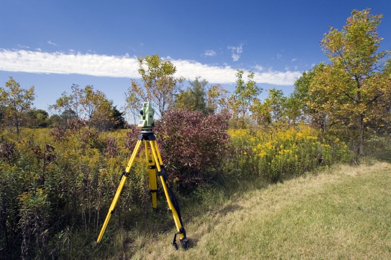
Surveying is a critical process that involves measuring and mapping land to determine accurate property boundaries, topography, and construction layouts. Professional surveying services provide precise data essential for legal documentation, construction planning, and land development. Engaging experts ensures reliable results, minimizing risks of disputes, costly errors, or project delays. Skilled surveyors use advanced tools and techniques to deliver comprehensive assessments that support informed decision-making and protect property investments.
🗺️ Boundary Surveying
Boundary surveying establishes the exact limits of a property, helping to resolve disputes and clarify ownership. This service is essential before buying, selling, or developing land. Professional boundary surveys protect property rights and ensure compliance with local regulations.
🏗️ Construction Surveying
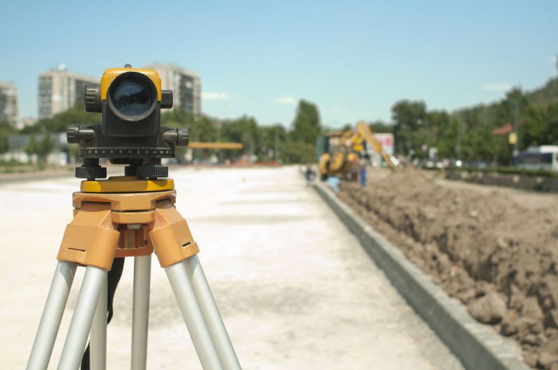
Construction surveying provides precise measurements and layout guidelines for building projects. It ensures structures are built according to design plans and local codes. This service helps avoid costly rework and supports efficient project management.
🌄 Topographic Surveying
Topographic surveying maps the natural and man-made features of the land, including elevations and contours. This information is vital for site planning, drainage design, and landscape architecture. Accurate topographic data supports better project outcomes and environmental compliance.
📏 Land Subdivision Surveying
Land subdivision surveying divides larger properties into smaller parcels for sale or development. It requires precise measurements and adherence to zoning laws. Professional subdivision surveys facilitate smooth transactions and development approvals.
📐 ALTA/NSPS Land Title Survey
ALTA/NSPS surveys provide comprehensive boundary and title information for commercial properties. These surveys meet rigorous industry standards and are often required by lenders and title companies. They offer detailed insights into easements, encroachments, and improvements.
🛰️ GPS Surveying
GPS surveying uses satellite technology to deliver highly accurate positioning data. It is especially useful for large or remote areas where traditional methods are challenging. This method enhances speed and precision for various surveying applications.
🌳 Environmental Surveying
Environmental surveying assesses land for ecological features, wetlands, and protected areas. It supports environmental impact studies and helps comply with regulations. Professional environmental surveys protect natural resources during development projects.
Fill out the contact form today to request expert surveying service. Accurate, professional surveying supports sound decisions and protects valuable property investments.


