Professional Land Surveys for Accurate Property Boundaries
Surveyings are a critical component in land development, construction, and property management. They provide precise measurements and detailed data about land boundaries, topography, and existing structures, ensuring projects adhere to legal and safety standards. Accurate survey data helps prevent disputes, facilitates planning, and supports efficient project execution.
Defines property lines with high precision, preventing future boundary disputes.

Maps land contours and features to assist in construction and landscaping planning.
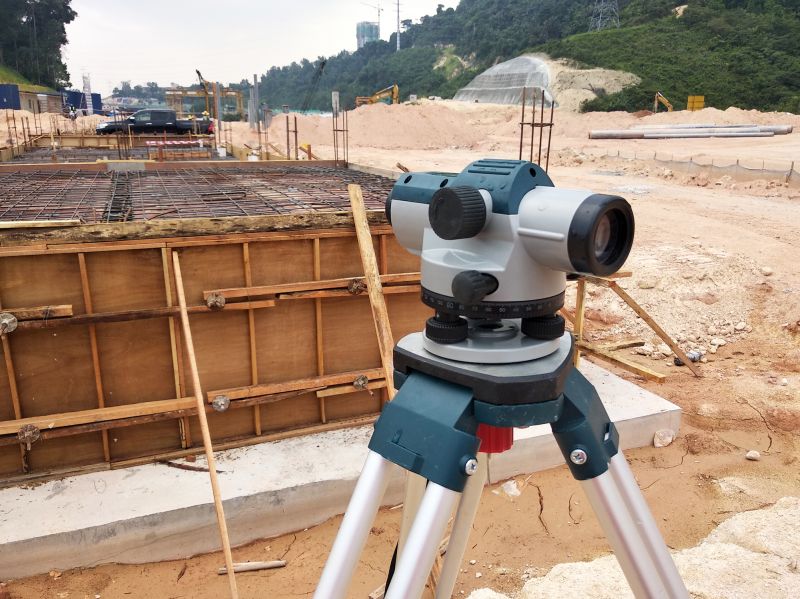
Marks specific points and lines for building foundations and infrastructure.
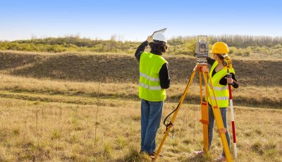
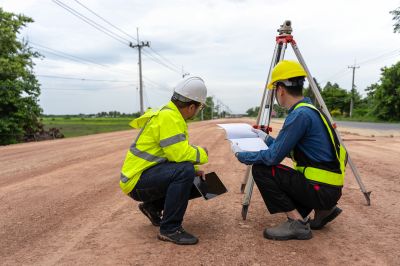
Surveying processes typically involve multiple steps, starting with initial research and site analysis, followed by field measurements using specialized equipment such as total stations and GPS devices. Data collected is then processed and analyzed to produce detailed maps and reports. The duration of a surveying project varies based on site size and complexity, but professional surveys generally take from a few hours to several days.
Hiring a professional surveyor ensures accuracy, compliance with local regulations, and reliable data for decision-making. Professionals utilize advanced tools and techniques to minimize errors, saving time and resources during project development. Their expertise is especially valuable for complex sites or projects requiring precise boundary delineation and detailed topographical information.
Utilizes advanced tools such as GPS, total stations, and drones for precise measurements.
Achieves high levels of precision, often within millimeters, critical for legal and construction purposes.
Provides reliable data, reduces legal risks, and supports efficient project planning.
At the conclusion of a survey, detailed reports and maps are provided, which include boundary lines, elevation data, and site features. These documents serve as essential references for architects, engineers, and developers throughout the project lifecycle.
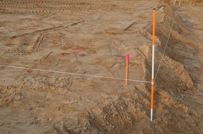
Shows clear boundary lines and topographical details after project completion.
Displays precise placement of structures based on survey data.
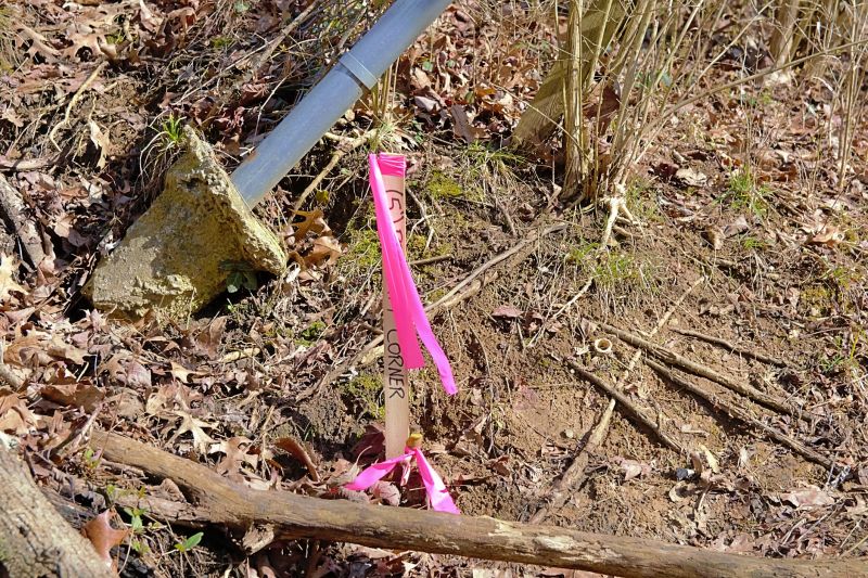
Illustrates property lines established through professional surveying.
Surveyings play a vital role in ensuring the success of construction and development projects. Accurate data helps avoid costly errors, legal disputes, and delays. Engaging experienced surveyors enhances project reliability and provides peace of mind for stakeholders.
Interested parties seeking a comprehensive survey can contact for detailed quotes and project assessments. Proper surveying services contribute to smooth project execution and long-term property management.