Professional surveyors for accurate property assessments
Understanding who offers surveying services is essential for clients seeking accurate land assessments, boundary determinations, or construction site evaluations. Professional surveyors and specialized firms are the primary providers, equipped with the skills and tools necessary to deliver precise results. When hiring a service provider, expect thorough site analysis, detailed reports, and adherence to local regulations. Choosing experienced professionals ensures reliability and accuracy in your surveying needs.
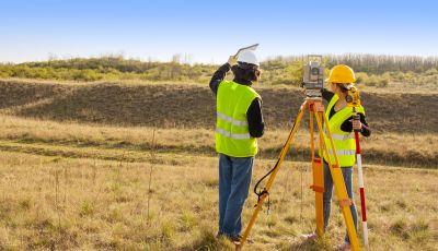
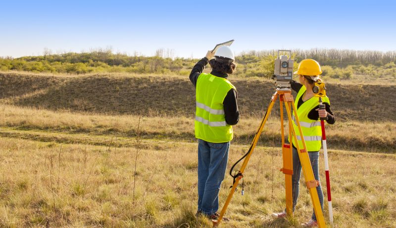
Licensed land surveyors are certified professionals who perform boundary surveys, topographic mapping, and property line determinations.
These providers utilize GIS technology and aerial mapping to offer comprehensive geographic data for large-scale projects.
Specialized in setting out building foundations, roads, and infrastructure, these firms ensure construction projects align with design specifications.
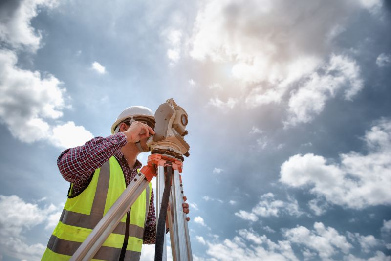
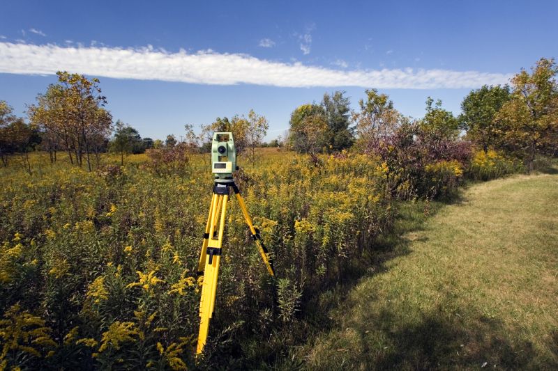
Modern surveyors use advanced tools like total stations, GPS devices, and drones to gather precise data.
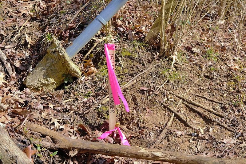
Professionals mark property boundaries to prevent disputes and ensure legal compliance.
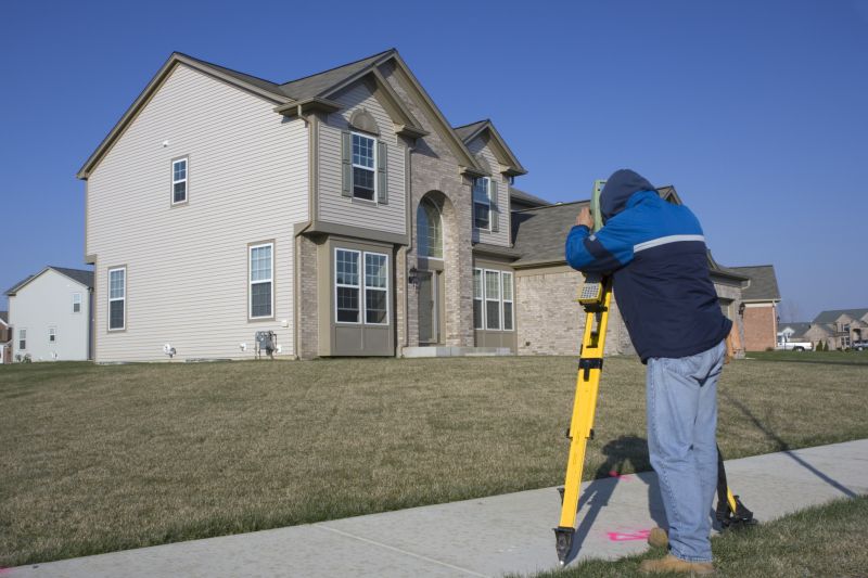
Surveyors prepare detailed site plans to guide construction and development projects.
Creating detailed maps that represent the terrain and features of a land parcel.
Utilizing aerial drones to quickly capture large areas for mapping and analysis.
Providing accurate legal descriptions and survey reports for property transactions.
When considering the timing for hiring a surveying professional, it is best to engage services early in the project planning phase. This allows ample time for accurate measurements, report preparation, and addressing any potential issues before construction begins. The ideal time is typically during land acquisition, pre-construction planning, or before finalizing property boundaries. Early engagement helps prevent delays and costly adjustments later.
| Service Provider | Typical Services |
|---|---|
| Licensed Land Surveyors | Boundary surveys, legal descriptions, property staking |
| Geospatial Service Providers | Aerial mapping, GIS data collection |
| Construction Surveying Firms | Site layout, foundation staking, elevation checks |
| Drones and Aerial Surveyors | Large area mapping, volumetric analysis |
| Environmental Surveyors | Environmental impact assessments, land use analysis |
If you need professional surveying services, consider reaching out today. Filling out our contact form allows you to receive a detailed quote from experienced providers who can meet your specific needs. Don't wait until the last minute; early planning ensures your project stays on schedule and within budget.